
Radar Nowcasts for Hydrologic Modeling
Research Use Only — Not for Operational Use All forecast outputs, model results, and visualizations presented on this website are produced as part of an ongoing research project investigating the use of precipitation nowcasts as forcing data for the WRF-Hydro modelling system in a configuration analogous to the National Water Model (NWM). Results are strictly experimental and have not undergone the validation, quality assurance, or review processes required for operational deployment. They do not constitute official hydrological forecasts, flood warnings, or guidance of any kind, and must not be used for emergency management, public safety decisions, or any operational purpose. The authors accept no liability for any decisions made on the basis of this content. For authoritative flood and weather information, consult your national meteorological and hydrological services.
Nowcast Images
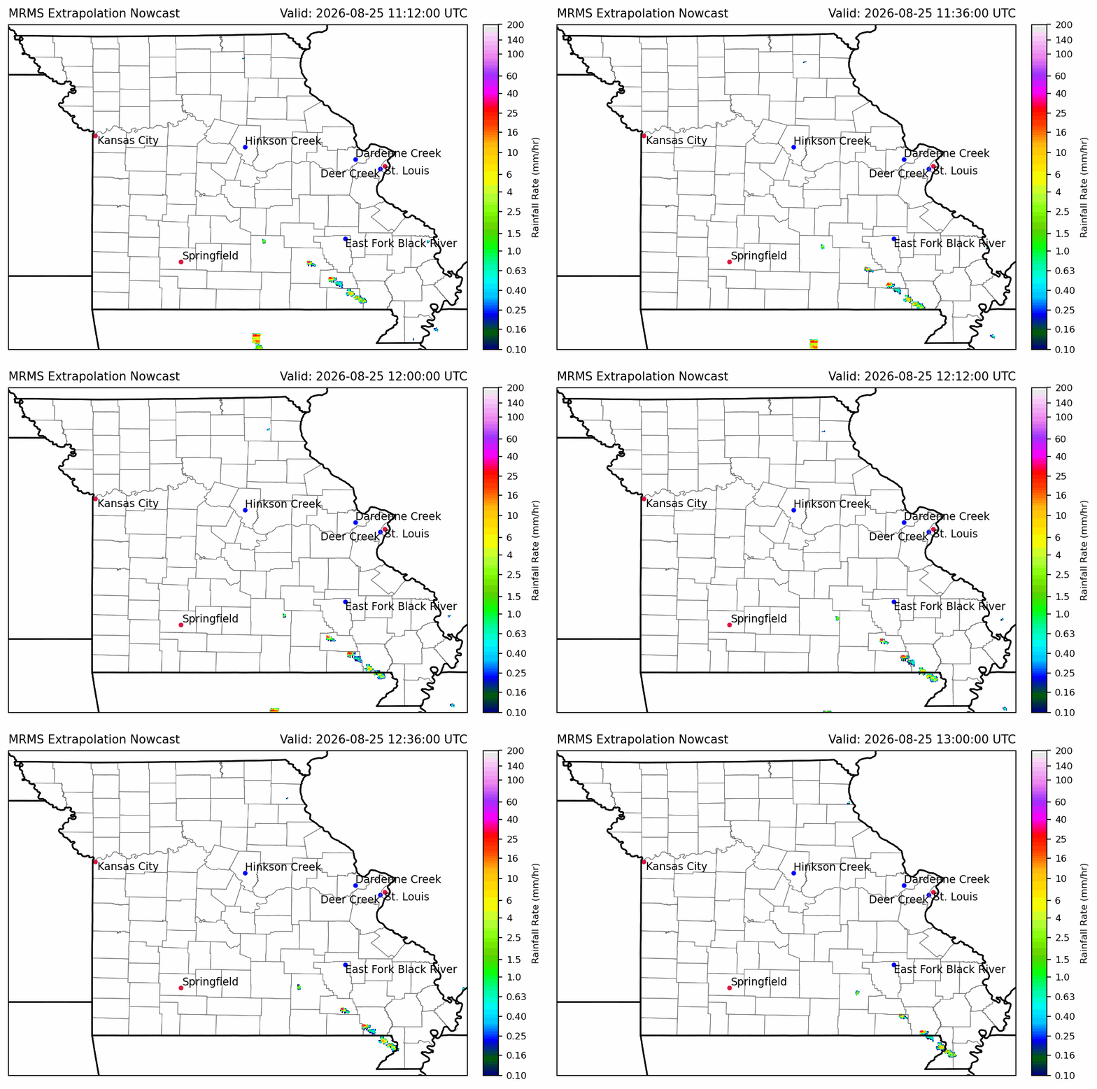
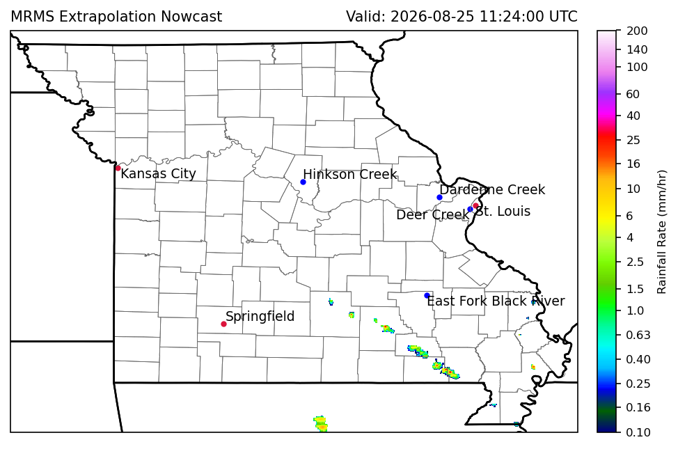
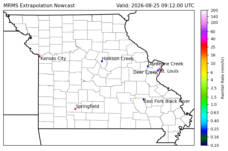
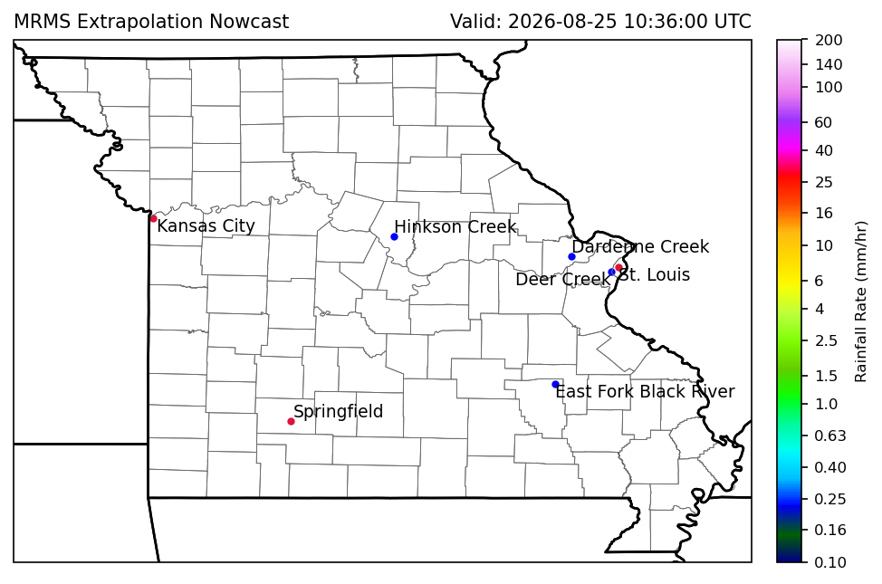
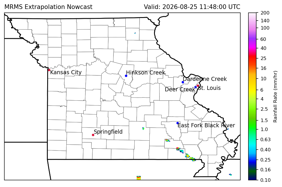
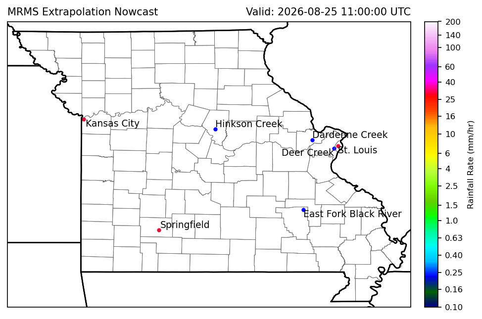
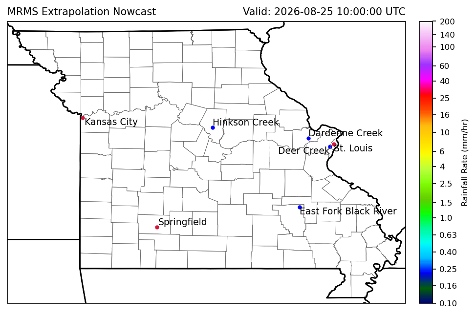
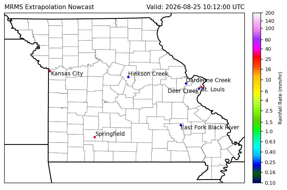
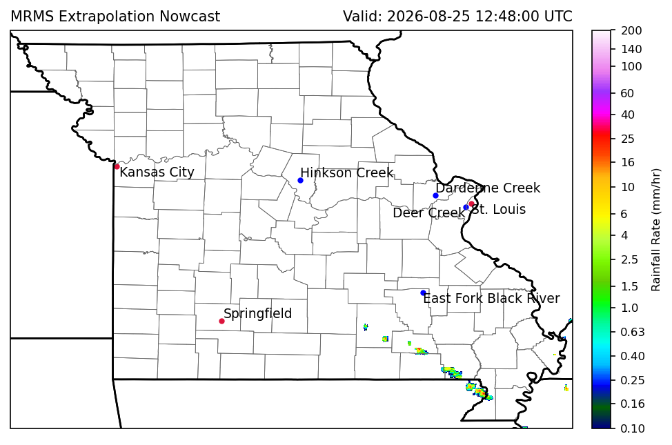
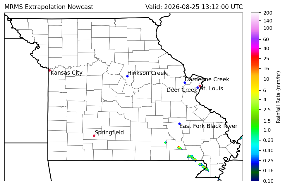
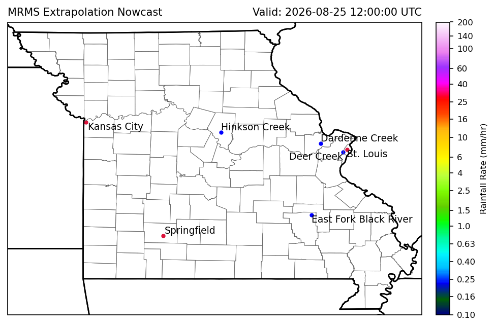
The radar imagery below updates every 12 minutes to provide precipitation projections up to two hours into the future.
Unlike traditional Numerical Weather Prediction (NWP) models, which rely on complex physics-based atmospheric simulations, our system uses PySTEPS optical flow motion vectors. By tracking real-time Multi-Radar Multi-Sensor (MRMS) rainfall rates and extrapolating their trajectory, this technique projects where existing precipitation is moving.
Use the arrows to step through individual 12-minute lead times
WRF-Hydro Streamflow Projections
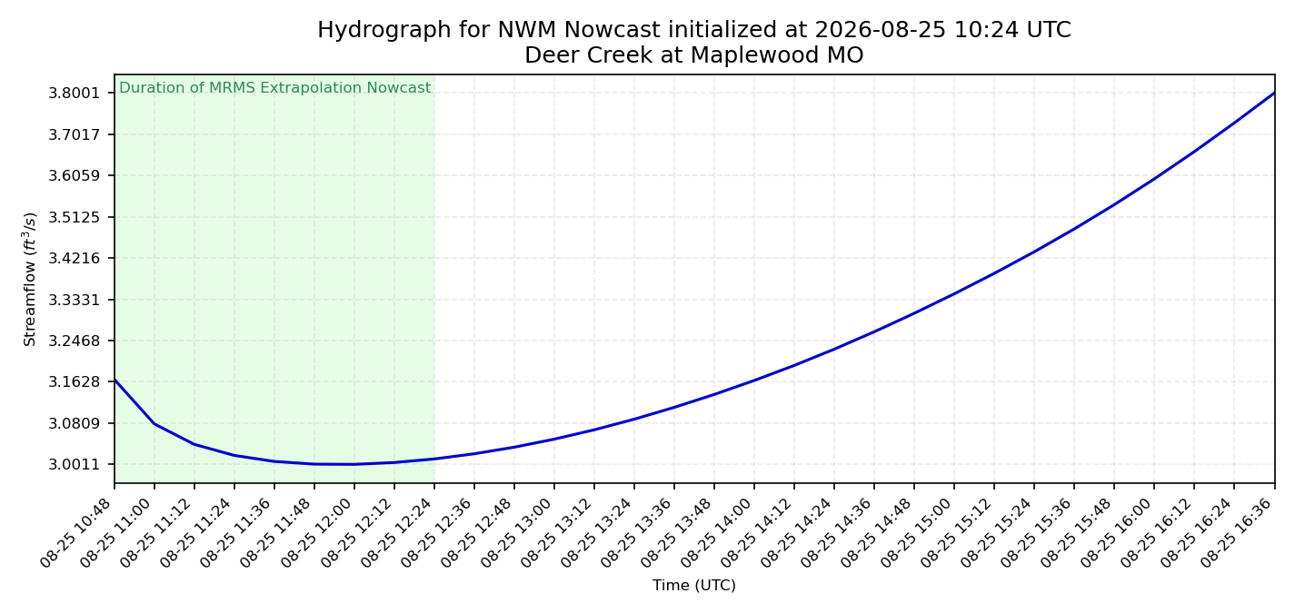
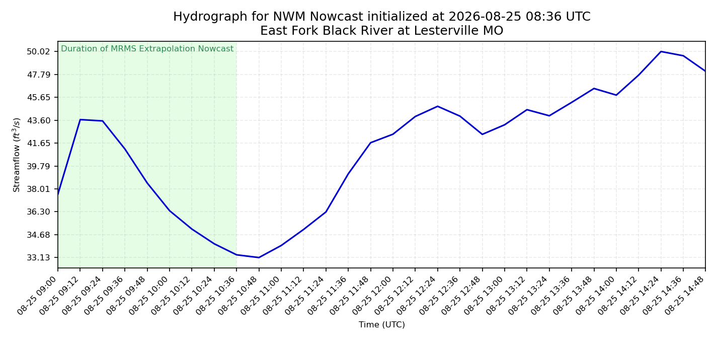
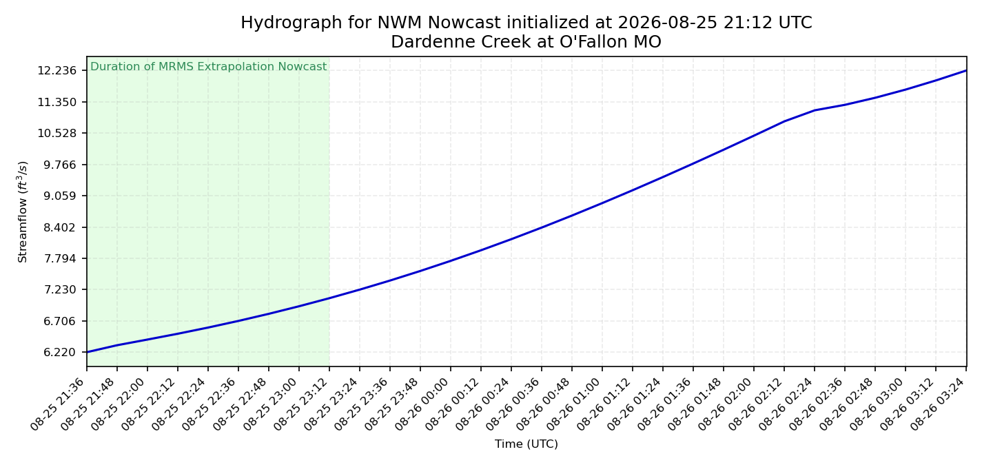
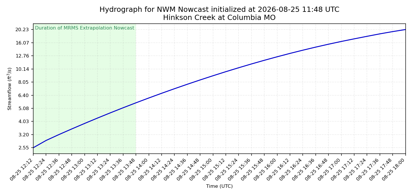
The hydrographs below display short-term streamflow projections forced directly by our precipitation nowcasting pipeline.
Updated every 12 minutes, these plots are generated from WRF-Hydro channel routing outputs configured over Missouri in a setup analogous to the National Water Model.
Acknowledgements:
This work was supported by the Missouri Department of Natural Resources, through the Missouri Department of Natural Resources Hydrology Information Center (MoHIC). This product was supported, in whole or in part, by federal award number 073134579 awarded to State of Missouri by the U.S. Department of the Treasury.